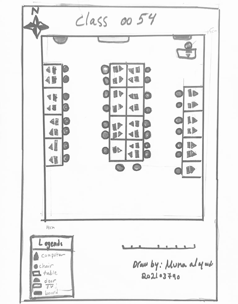
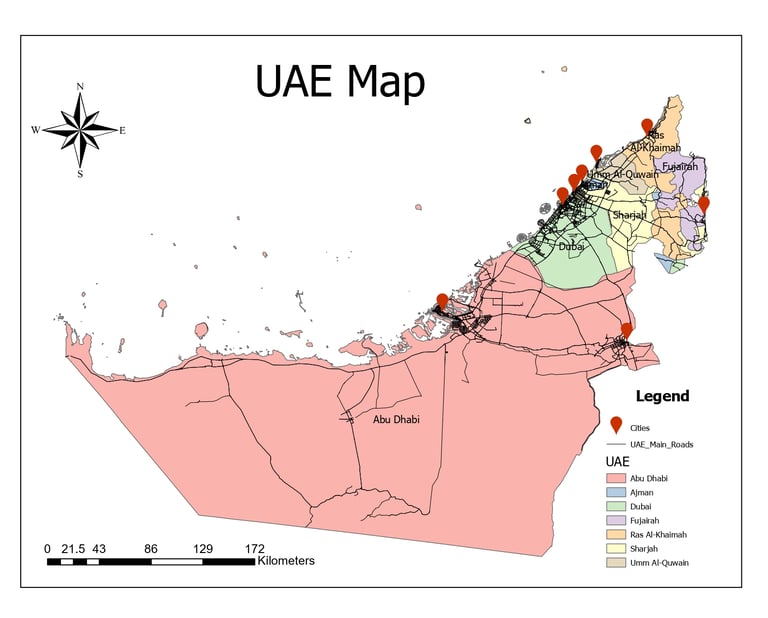
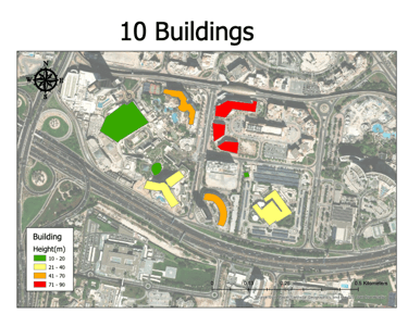
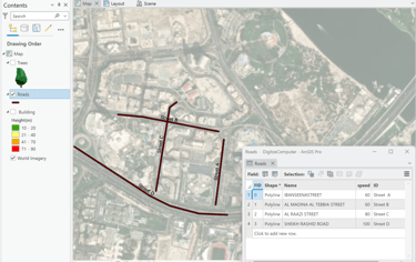
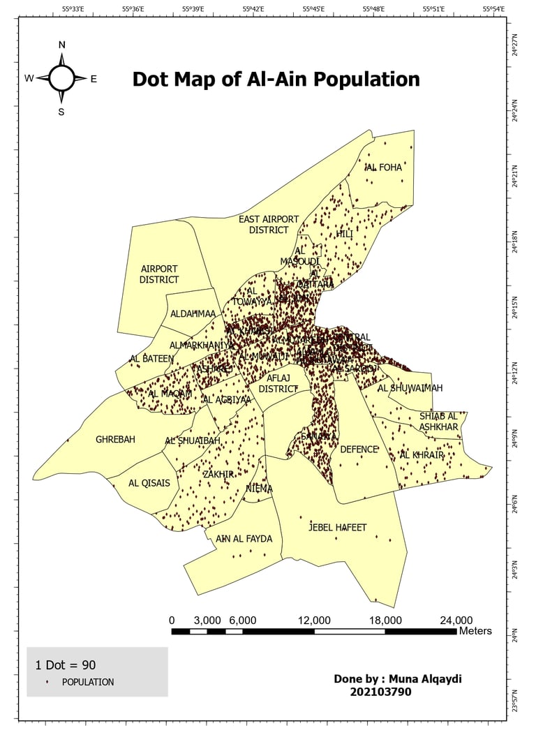
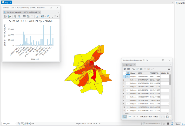
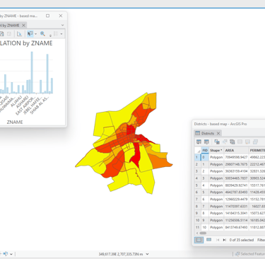
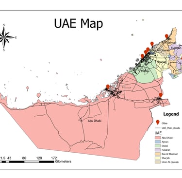
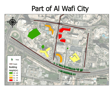
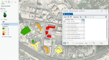
My Computer Mapping Projects

Explore my academic and practical mapping projects created using ArcGIS Pro, Remote Sensing, and Cartography design tools.

A detailed 3D model of a cityscape with buildings and roads.
A thematic map illustrating population distribution in Al Ain.
A visual representation of various mapping projects.

My Computer Mapping

  • Mental Map

3D Scene (Map View + Layout + Video)

3D Map Scene of My Study Area – Digitized roads, buildings, and trees in ArcGIS Pro

  • Bar Graph – Cars per District & Population per District

  • UAE Map

  • Al Ain Population Maps (dot density / proportional / graduated colors)

Video