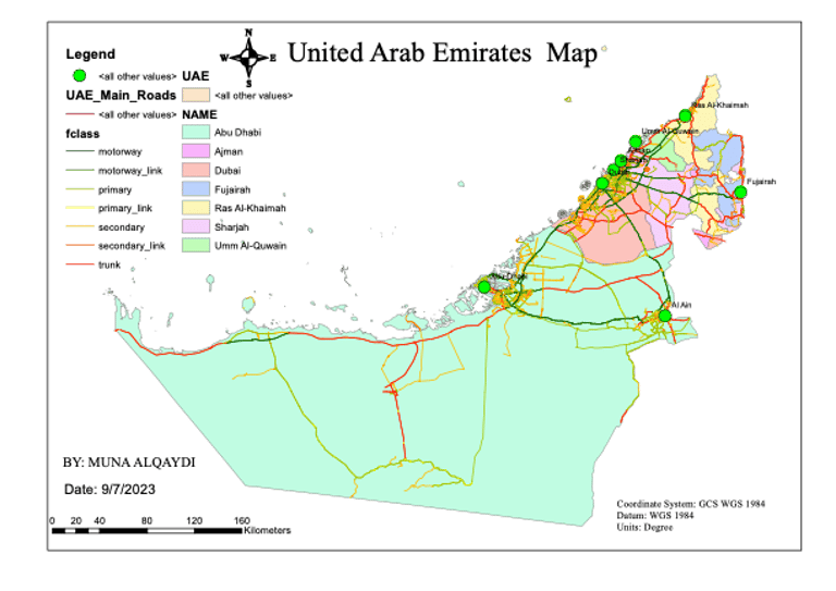
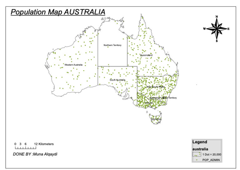
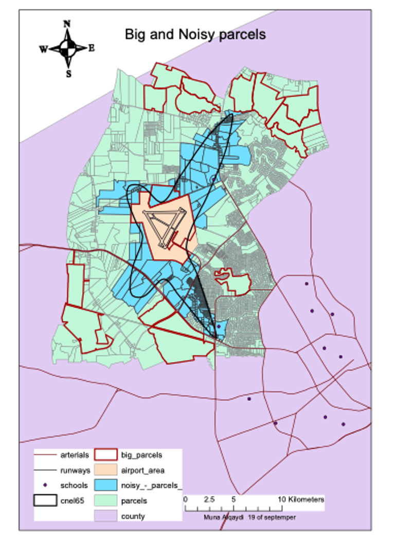
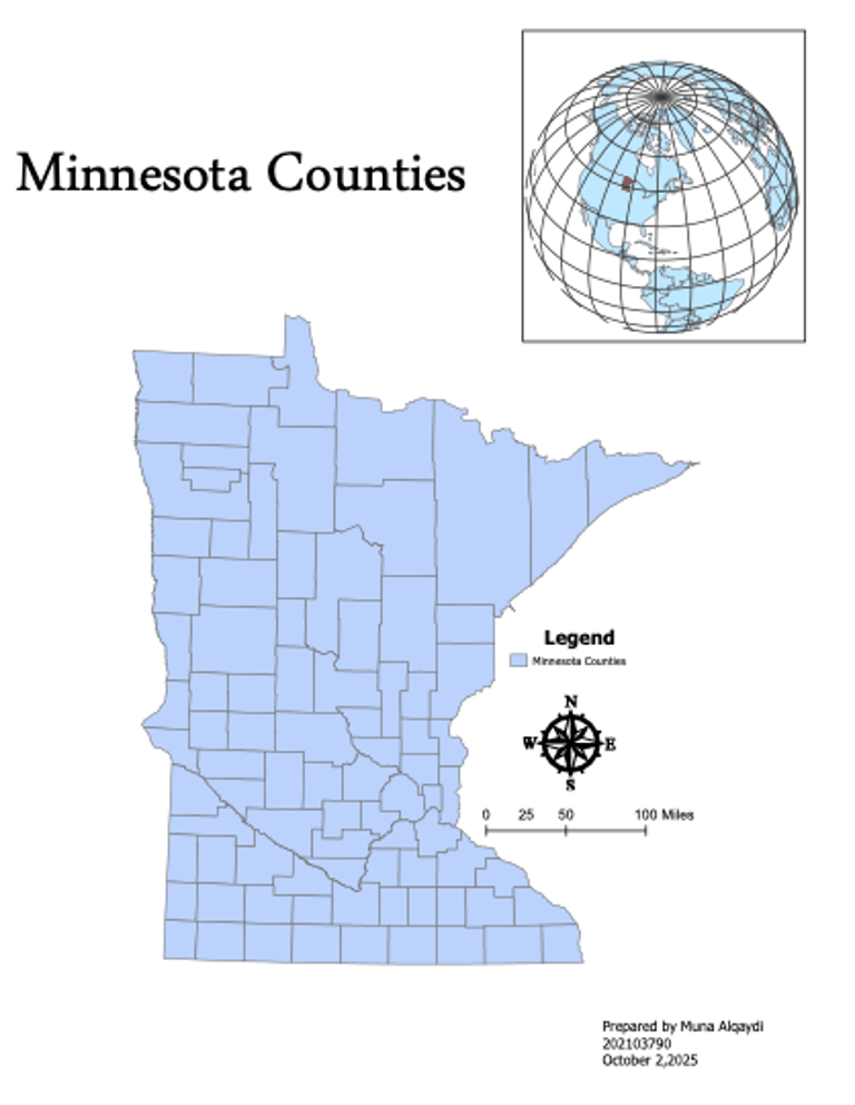
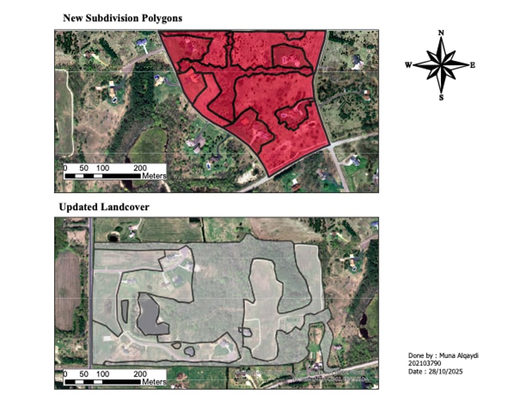
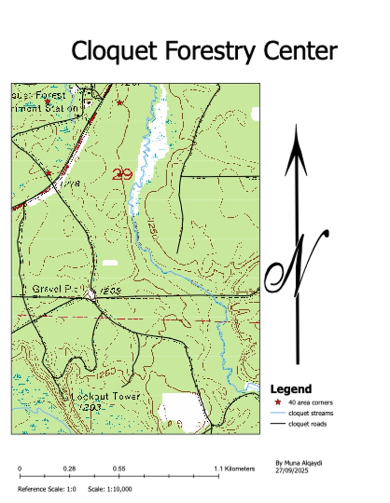
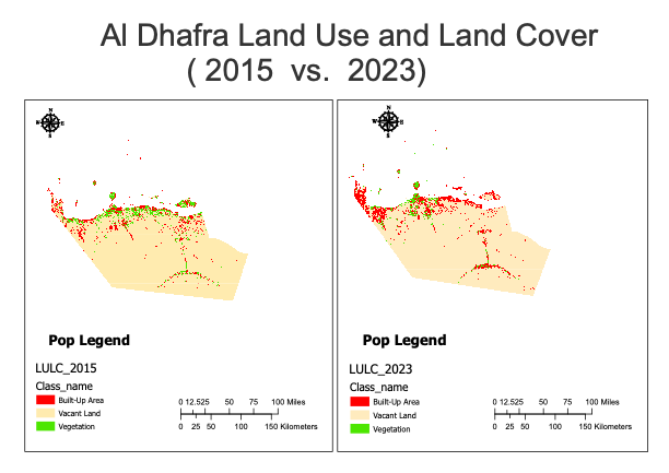
GIS Analysis & Cartography Design
Explore my spatial and environmental analysis projects created using GIS techniques and satellite imagery.
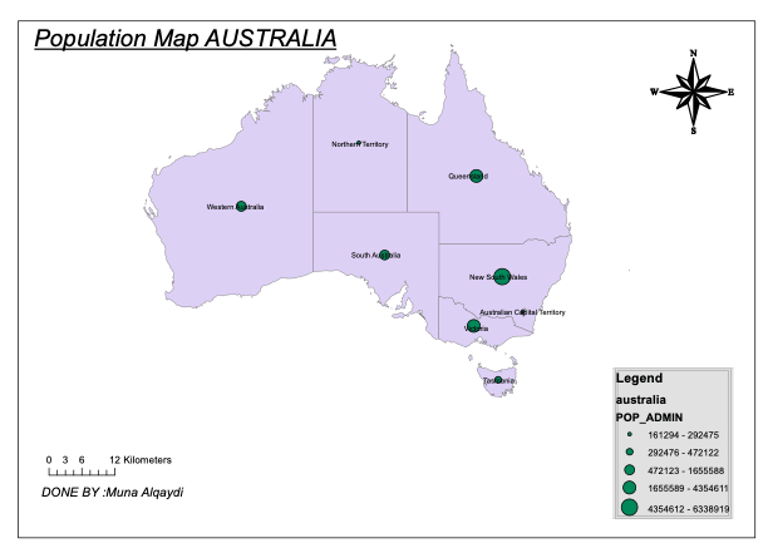
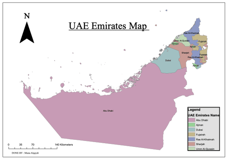
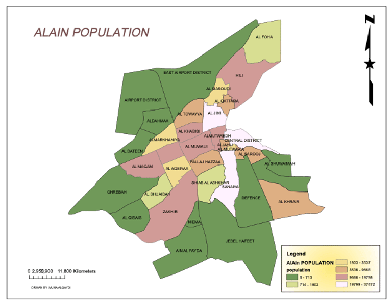
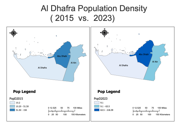
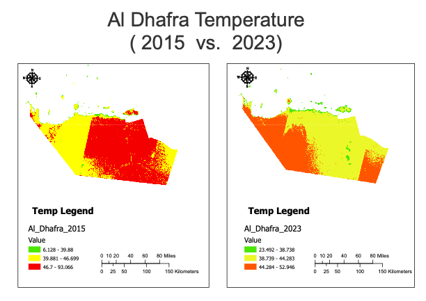
These works highlight how geographic data can uncover real-world patterns related to urban growth, sustainability, and resource management across the UAE.
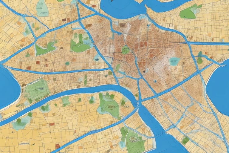
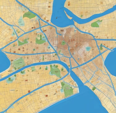
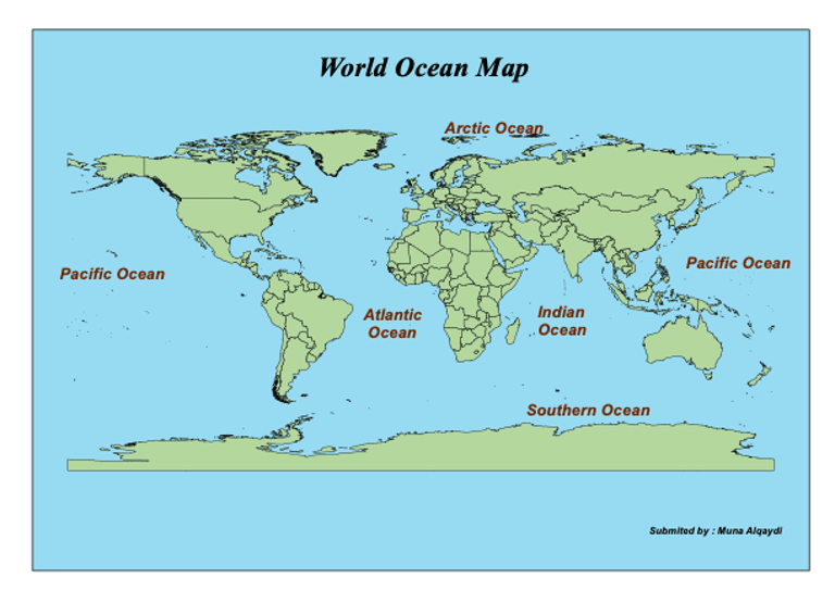
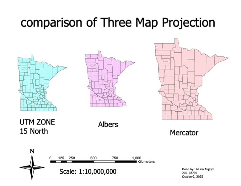
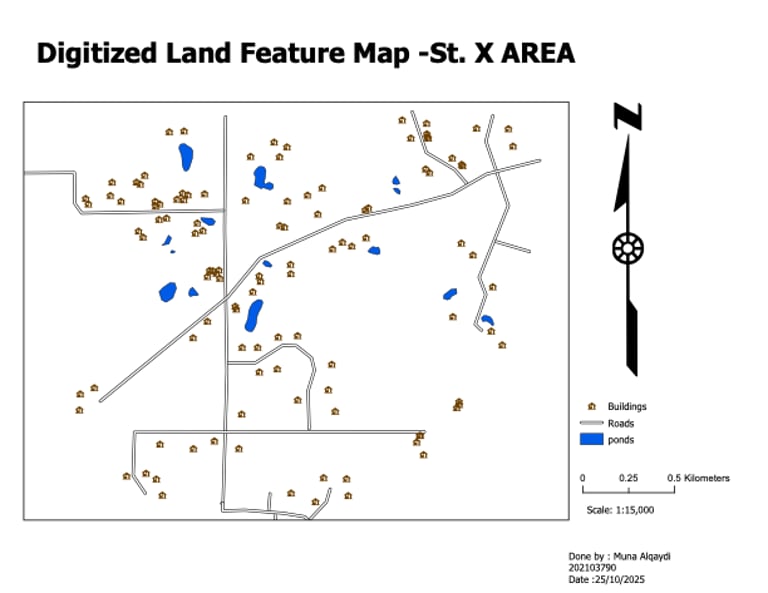
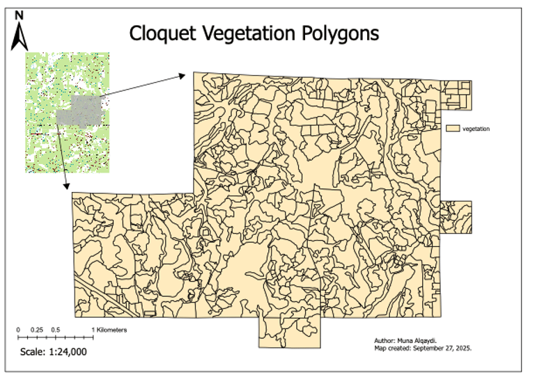
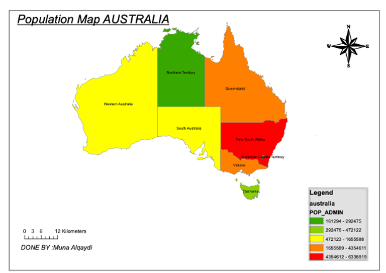
Alongside analysis, my cartography and design work showcases professional map layouts that apply color harmony, typography, and visual balance.
Each map reflects precision and creativity transforming spatial data into clear, engaging, and meaningful geographic stories that connect technology with environmental insight.